Experience
Our survey and monitoring services have informed decision-making for a wide variety of marine and costal projects and developments

Measuring dredging impact on black bream
Tarmac Marine and CEMEX UK Marine commissioned ABPmer to undertake an assessment of black bream nesting activity in survey areas in the Kingmere MCZ, to contribute to annual monitoring requirements for Areas 453 and 488 licences.

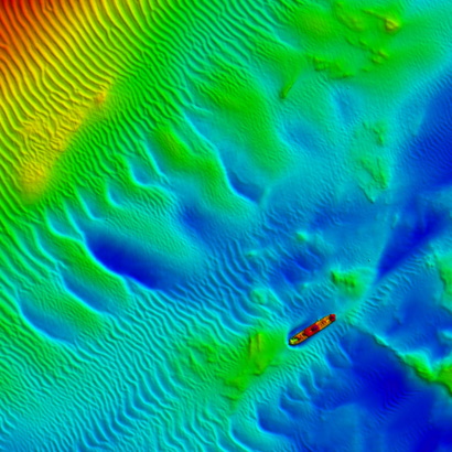
Understanding Welsh seabed characteristics through multibeam bathymetry processing
Processing bathymetry and backscatter data to help Welsh Government better understand seabed characteristics in resource areas
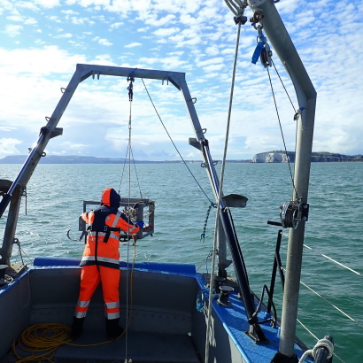
Area 392/393 geophysical survey
ABPmer was asked to conduct a geophysical survey within aggregate extraction Area 392/393 in fulfilment of a marine licence issued by NRW.
Crab fishery monitoring to support aggregate dredging
ABPmer was asked to conduct a geophysical survey in the vicinity of a crab fishery area south of Hastings, to ensure there were no negative effects from aggregate dredging activity taking place nearby
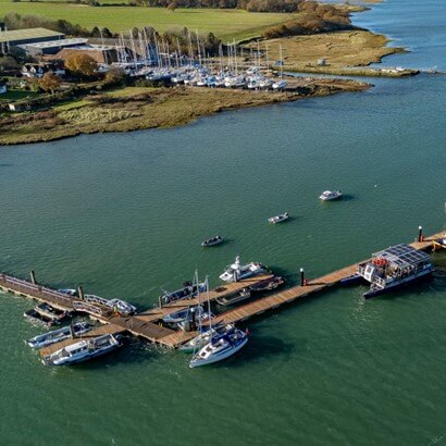
Tidal flow survey for Chichester Harbour Pontoon development
Identifying the difference in tidal flow between an existing pontoon and its planned extension, to inform a Navigational Risk Assessment

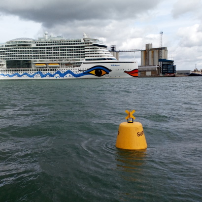
Hydrodynamic and coastal process impact assessment
ABPmer was commissioned to undertake an estuarine hydrodynamic and coastal process assessment of the Cruise Hull Project to inform a feasibility study and the start of the marine licence process.

Sediment and navigation studies for deep-water berth
ABPmer was commissioned to evaluate the hydrodynamic and sedimentary implications of two potential designs for deep-water berthing facilities at Douglas Harbour.
Baseline survey of Bembridge MCZ key features
Undertaking a phase one baseline survey of key features to assess the direction of ecological change
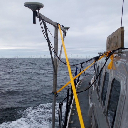
Southampton oceanographic campaign
To further develop a hydrodynamic numerical model of Southampton Water, ABPmer was contracted to design, plan and conduct a comprehensive oceanographic data collection campaign.
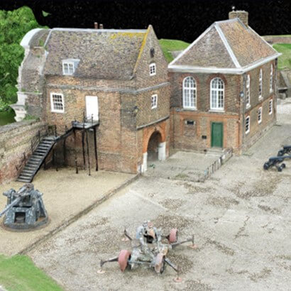
Supporting the preservation of Tilbury Fort with bathymetry and topographic survey
Undertaking bathymetric and topographic surveys to support the moat management plan for the historic Tilbury Fort